
Property map · Instant pricing
Draw it on your property. See your price.
Outline the brush, woods, field or trail you want cleared on an aerial of your own land. Add as many areas as you want. We read the slope from USGS lidar, pick the machines for it and show your price range. Then book a free on-site estimate.
Rather pick from a few options? Use the step-by-step calculator or call (513) 790-4150.
- 800+ properties cleared
- 5.0 on Google
- Free on-site estimate
- Price locked before work starts
How it works
- 1
Find your property
Type the address. The map flies in on the latest leaf-off aerial photos, with your lot lines where the county publishes them.
- 2
Outline what needs cleared
Tap the corners of each area and tell us what's in it: woods and brush or an open field. Draw trails, and creek or pond banks, as a line.
- 3
We read the ground
USGS lidar gives the slope across every area. Anything steeper than 25% goes to our hillside machines, and the map shows you where.
- 4
See your price and book
Your range shows once you tell us where to send it, along with open times for a free on-site estimate. We walk your drawing with you and lock the price before we start.
The machine fits the ground
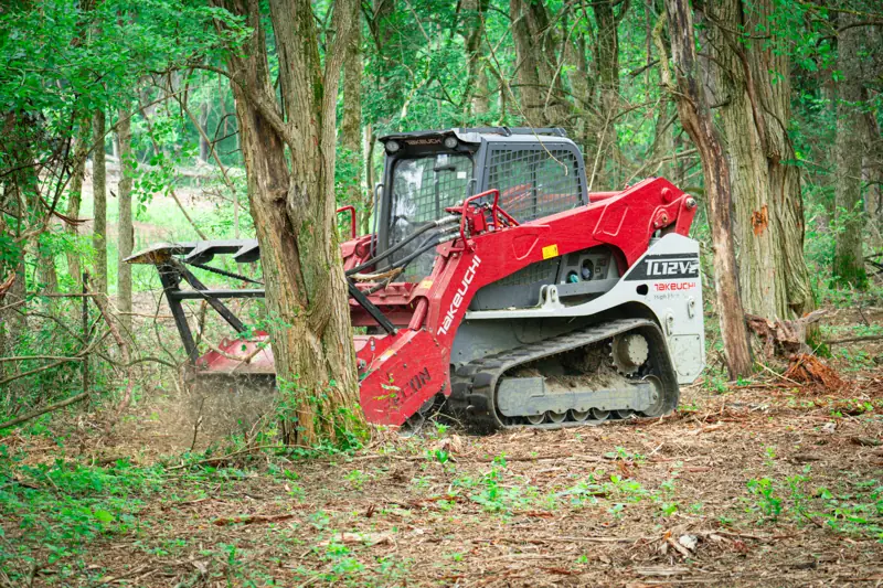
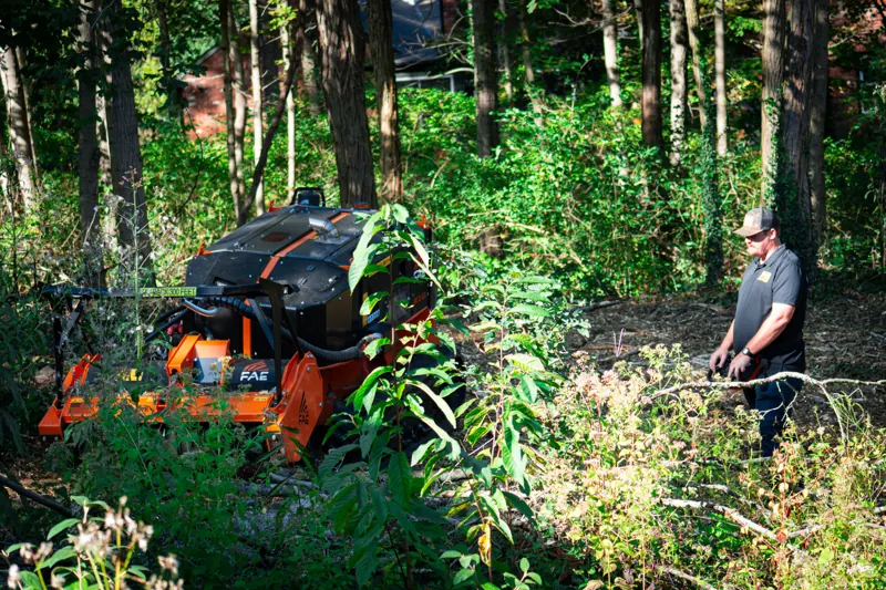
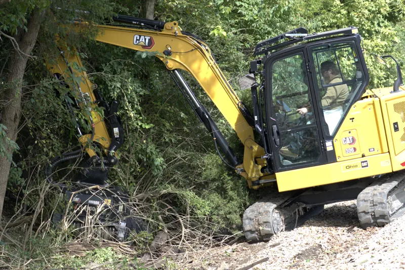
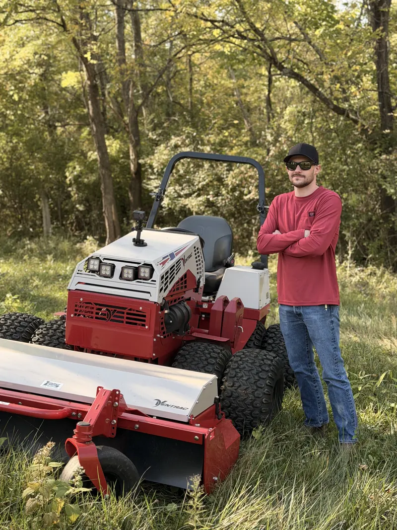
The map picks the machines as you draw. Most jobs run on a track loader. Steep ground, water's edge and open fields each get the right tool.
What sets the price
Your range comes from what you draw, not a guess at the acreage.
- Acres you outlineMeasured from the aerial, area by area.
- Brush thicknessLight, medium or dense, per area.
- SlopeFrom USGS lidar. Steep ground takes a hillside machine.
- What's in itWoods or open field. Creek and pond banks are a line along the water, cleared 15 ft back on one side or both.
- TrailsLength you draw, cleared 12 ft wide.
- One tripOne mobilization for every area on the same visit.